


Resilience node 5
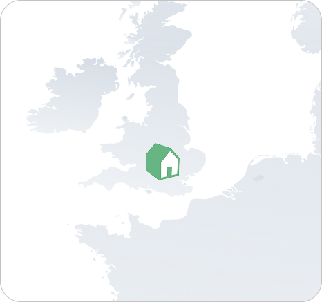
Cherwell & West Oxfordshire
United Kingdom
Reapplying flood management NbS, river restoration and community governance structures from RH4 to address flooding and peri-urban pressures in rural Oxfordshire.

About Cherwell & West Oxfordshire
RN5 represents a rural UK region within the county of Oxfordshire influenced by climate pressures such as flooding, changes in land use and proximity to urban development.
With more than 49,000 inhabitants, it requires adaptation strategies that fit a peri-urban rural context.
Climate Context
Key Challenges
Flooding
Increasing frequency and severity of flood events risk livelihoods, property and ecosystems across the region.
Land Use Change
Urban expansion and intensified agriculture are transforming landscape hydrology and increasing runoff risk.
Peri-Urban Pressures
Proximity to growing urban areas creates complex governance, planning and land management challenges.
Rural Adaptation
Balancing farming needs with ecosystem services and climate adaptation in a diverse mixed landscape.

REAPPLICATION FOCUS
Flood NbS & Community Governance
RN5 will reapply knowledge from RH4, focusing on NbS for flood management, river and wetland restoration, community engagement structures and complementary digital tools.
- Flood management NbS: Applying field bunds, constructed wetlands and flood retention measures validated at RH4 in a peri-urban context.
- River & wetland restoration: Replicating river restoration approaches to enhance water retention, biodiversity and ecosystem services.
- Community structures: Adapting the governance and stakeholder engagement frameworks developed at RH4 for this local context.
- Digital tools: Deploying complementary monitoring and scenario tools to support evidence-based flood risk management decisions.
Expected Outcomes
What this Node will achieve
01
Resilience Roadmap
A tailored adaptation plan addressing flooding and land use.
02
Local Governance
Strengthen local governance for climate adaptation.
03
Peri-Urban NbS
Demonstrate the relevance of NBS in peri urban rural settings.
04
Knowledge Exchange
Contribute to cross regional knowledge exchange.
Other Resilience Nodes


Explore the Pillars
See how these frameworks are applied through NURISH’s Pillars.